
Click to zoom
What is it?
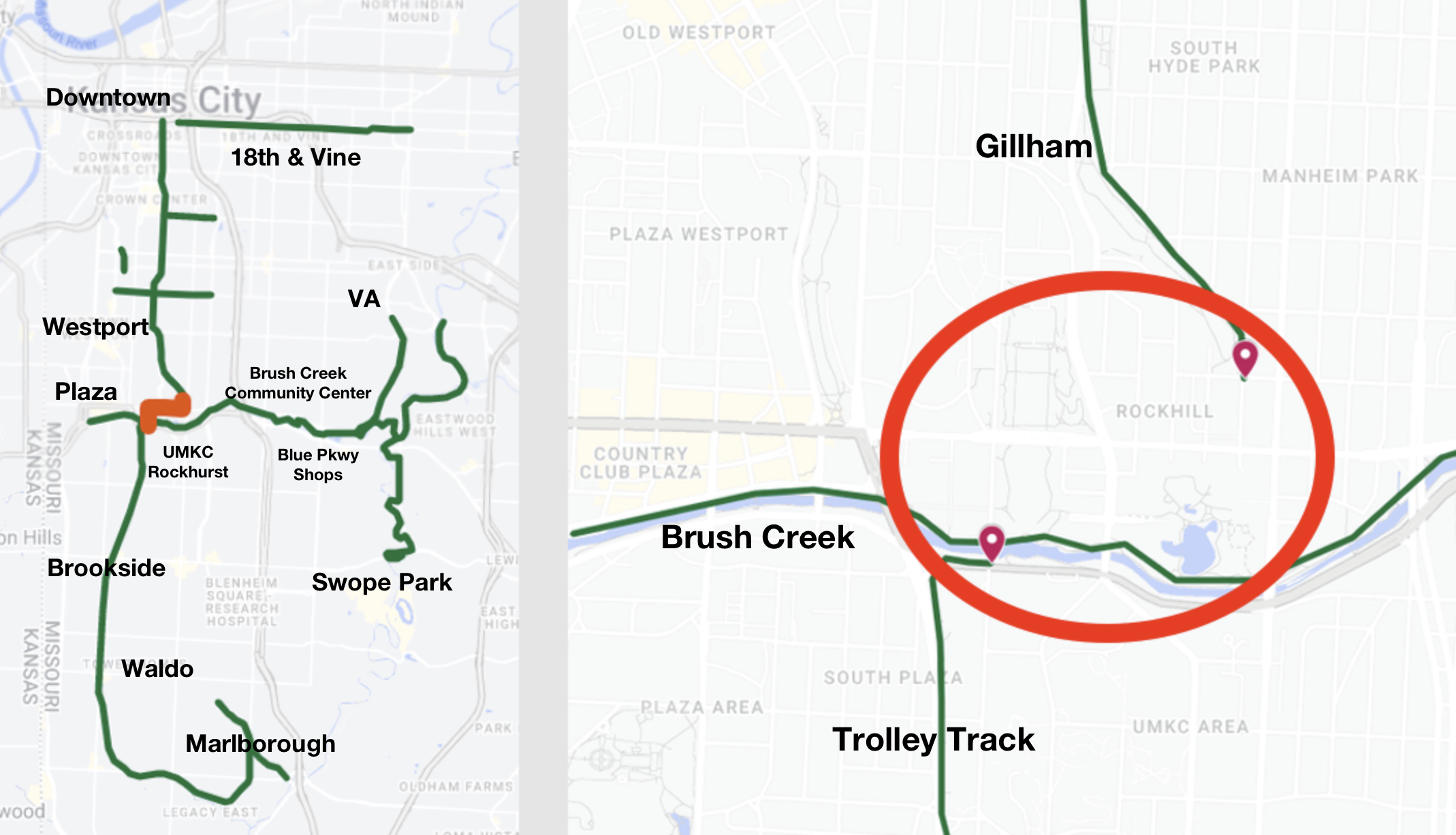
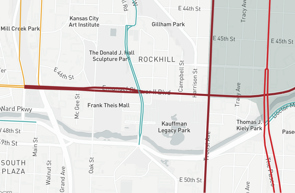
The Gillham-Trolley Trail Connector is an opportunity to close the gap between three popular city-wide trail corridors - the Harry Wiggins Trolley Track Trail, the Gillham Road cycletrack, and the Brush Creek Trail. The existing, conventional bike lanes on Emanuel Cleaver II Boulevard would be upgraded to protected infrastructure along with new protected bike lanes connecting all three corridors.
Why is it important?
Safety. Emanuel Cleaver II Boulevard is among the top 10 most dangerous streets for traffic crashes in KCMO. The street is in need of a makeover to slow cars and improve safety for everyone.
Connectivity. Closing this small but crucial gap links more than 15 miles of trails and bikeways, creating a safe and connected network. A few of the connected destinations would include UMKC, Brush Creek Community Center, Theis Park, Downtown, the Plaza, KC Streetcar, Brookside and Waldo, the VA Medical Center, the Shops on Blue Parkway, and many more. Adding facilities while repaving of Cleaver would be the most cost-beneficial approach for the city and align with KCMO’s Complete Streets ordinance.
Community support. Hundreds of residents, commuters, parents, and others have already expressed support for closing the gap using engagement tools provided by city staff since 2022. Councilman Bunch stated in committee that the main neighborhood where the gap is located has expressed support for the project.
Cleaver Blvd east of the Plaza is among the most dangerous streets in Kansas City for traffic crashes and fatalities.